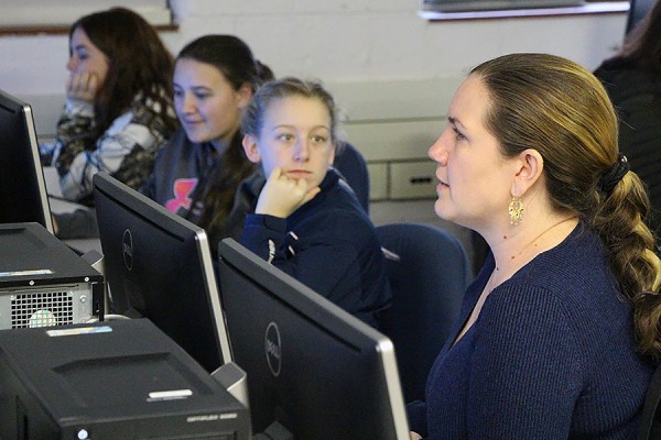
 Secondary school students map data on pollutants from sensors placed around the city under the instruction of geospatial learning specialist Alice Grgicak-Mannion (right), Wednesday in Memorial Hall.
High school students love hands-on activities, says Riverside Secondary School teacher Anna Dean, so coming to the UWindsor campus on Wednesday for GIS Day made for a great learning experience.
The day’s events provided about 70 students from local high schools a glimpse into the real-world applications of geographic information systems (GIS). Besides hearing from professionals discussing their use of the technology for everything from tracking arctic ducks to planning for sustainable energy developments, the students tried their own hands at flying remote control drones and mapping air pollutants in the city of Windsor.
“It’s nice for the University of Windsor to be able to show off their earth sciences department, and it’s nice for the students to learn about the real-world applications of this technology,” Dean said.
Her student, Cheyanne Cheverie, agreed.
“Everything today has been really informative,” she said. “I learned a lot about GIS and how it’s used as an actual live thing.”
Alice Grgicak-Mannion, geospatial learning specialist in the Great Lakes Institute for Environmental Research, says the event also served to highlight the GIS certificate program currently in development.
“We are so glad to partner with the city to offer a glimpse into GIS and other geospatial technologies and the potential career opportunities they present,” she said. “These systems find use in our communities relating to the environment, criminology, municipal services, and more.”